- English
Languages:
This site is created using Wikimapia data. Wikimapia is an open-content collaborative map project contributed by volunteers around the world. It contains information about 32840862 places and counting.
Learn more about Wikimapia and cityguides.
Manikgonj District Town
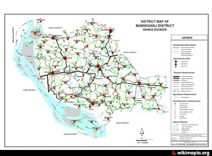
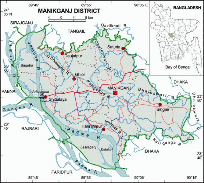
Manikganj District (Dhaka division) with an area of 1378.99 sq km, is bounded by Tangail district on the north, Dhaka district on the east, Faridpur and Dhaka districts on the south, the padma, jamuna and the districts of Pabna and Rajbari on the west. Main rivers are the Padma, Jamuna, Dhaleshwari, Ichamati and Kaliganga. An extensive area of the district especially riverine area of the upazilas of Harirampur, Shivalaya and Daulatpur becomes victim to riverbank erosion every year.
Manikganj subdivision was established in 1845 and was turned into a district in 1984. It consists of 1 municipality, 7 upazilas, 65 union parishads, 1357 mouzas, 9 wards, 49 mahallas and 1647 villages. The upazilas are Manikganj sadar, Singair, Shivalaya, Saturia, Harirampur, Ghior and Daulatpur.
Historical events: The area went in the hand of the Mughal army in the early seventeenth century when they defeated the combined forces of the Bara Bhuiyans under Musa Khan at Jatrapur and Dakchara on the Ichamati (under Harirampur upazila). Mir Jumla, the Mughal subadar of Bengal, established a military outpost and administrative centre at Garhpara in 1662. Following its political importance Garhpara subsequently developed into a river-port. The port flourished enormously during the British rule and played important role in the inland trade of Bengal. In the second half of the nineteenth century indigo uprisings spread in the district.
The location of Manikganj district town is 23.8650916N 89.9938661E. Manikganj (Town) consists of 9 wards and 49 mahallas. The area of the town is 20.59 sq km. It has a population of 53161; male 51.16% and female 48.84%; density of population is 2582. Literacy rate among the town people is 49.9%.
Annual temperature: maximum 36°C and minimum 12.7°C; annual rainfall 2376 mm.
As of the 1991 Bangladesh census, Population of Manikganj dist: 1274829; male 49.69%, female 50.31%; Muslim 87%, Hindu 12.41%, Christian 0.03%, Buddhist 0.03%, others 0.53%.
Population of Manikganj Sadar Upazila 237771; male 50.23%, female 49.77%; Muslim 85.65%, Hindu 14.2%, Christian 0.02% and ethnic nationals 0.13%.
Religious institutions Mosque 1635, temple 458, church 1, mazar 51, dargah 5, sacred place 5.
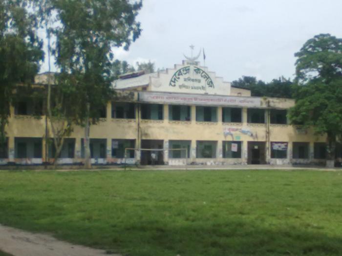
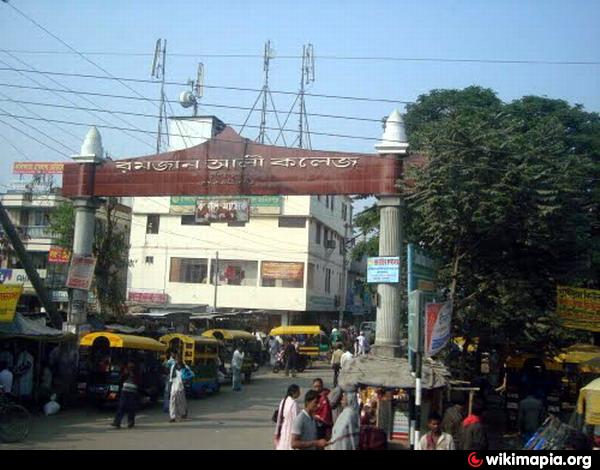
Average literacy 56%: male 57.24%, female 54.76%. Educational institutions: college (government) 2, college (non-government) 5, law college 1, primary teacher's training institute 1, veterinary training institute 1, high school (government) 2, high school (non-government) 29, madrasa 3, music school 1, local centre of Bangladesh Open University 1, primary school (government) 88, primary school (non-government) 19.
Main occupations Agriculture 33.75%, agricultural labourer 17.82%, fishing 1.67%, industry 1.14%, construction 1.36%, commerce 13.47%, service 11.38%, transport 3.33%, wage labourer 4.77% and others 11.31%.
Land use Cultivable land 107897 hectares; fallow land 16193 hectares; single crop 25%, double crop 59.4% and triple crop land 15.6%. Cultivable land under irrigation 40%.
Land control Among the peasants, landless 23%, marginal peasant 29%, small peasant 25%, intermediate 18% and 5% rich; cultivable land per head 0.091 hectare.
Main crops Paddy, jute, sugarcane, wheat, tobacco, mustard, sesame, potato, ground nut, onion, chilli, garlic, khesari, lentil, leguminous pulse, vegetables.
Fisheries, dairies and poultries Fishery 660, livestock and dairy 741, poultry 1375, hatchery 16.
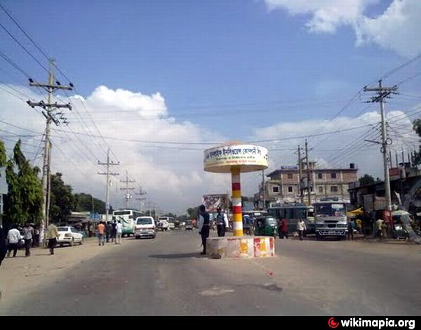
Communication facilities Roads: pucca 92 km, semi pucca 15 km and mud road 498 km; waterways 16 nautical mile.
Manufactories: Heavy industry 5, medium industry 15, small industry 945.
Cottage industries: Weaving 1107, silk work 23, brass metal work 39, conch work 19, packaging 54, bidi factory 9, welding 294, candle and agar factory 51, molasses production 54, book binding 46, wood work 399, bamboo work 1264, goldsmith 460, blacksmith 382, potteries 953, tailoring 1042, miscellaneous cottage industries 97.
Health centres Sadar hospital 1, maternity and child care centre 1, private clinic 4, satellite clinic 1, family planning centre 10
NGO activities Operationally important NGOs are brac, proshika, grameen bank, SPUS, Dak, asa, Gana Kalyan Trust, Arab, VON (a total of 98 NGOs).
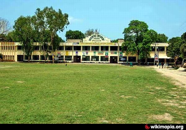
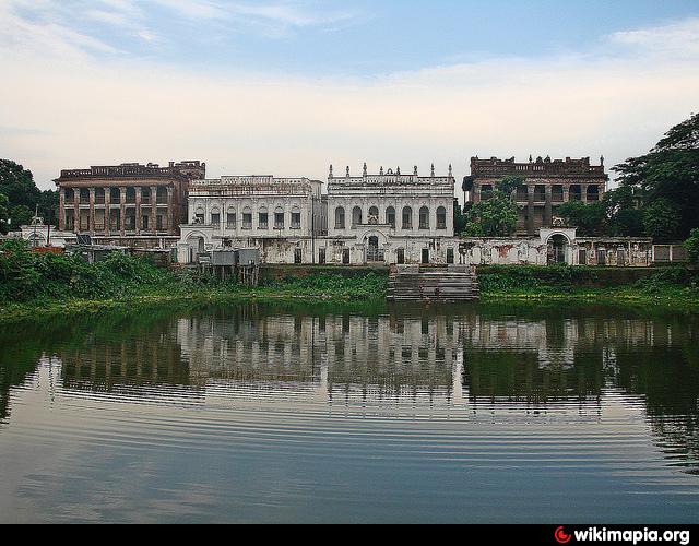
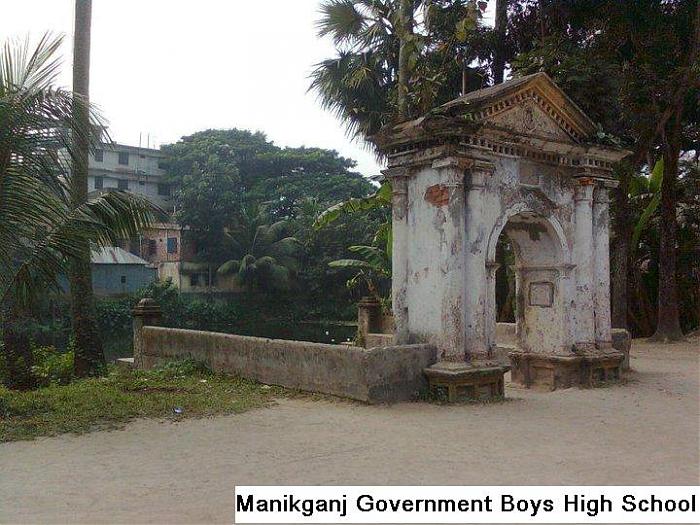
Places of interest: Tomb of Shah Rustam, forts at Fordnagar and DhakiJora, Imampara Jami Masjid, Teota Rajbari, Navaratna temple (Teota), Baliati Zamindar Bari, Ekdala fort, Machain Mosque, Dhankora Zamindar bari, Katasgarh fort, Ibrahim Shah tomb are some prominent places to visit in Manikganj.
Manikganj District (Dhaka division) with an area of 1378.99 sq km, is bounded by Tangail district on the north, Dhaka district on the east, Faridpur and Dhaka districts on the south, the padma, jamuna and the districts of Pabna and Rajbari on the west. Main rivers are the Padma, Jamuna, Dhaleshwari, Ichamati and Kaliganga. An extensive area of the district especially riverine area of the upazilas of Harirampur, Shivalaya and Daulatpur becomes victim to riverbank erosion every year.
Manikganj subdivision was established in 1845 and was turned into a district in 1984. It consists of 1 municipality, 7 upazilas, 65 union parishads, 1357 mouzas, 9 wards, 49 mahallas and 1647 villages. The...
 Reduce description
Manikgonj District Town on the map.
Recent city comments: